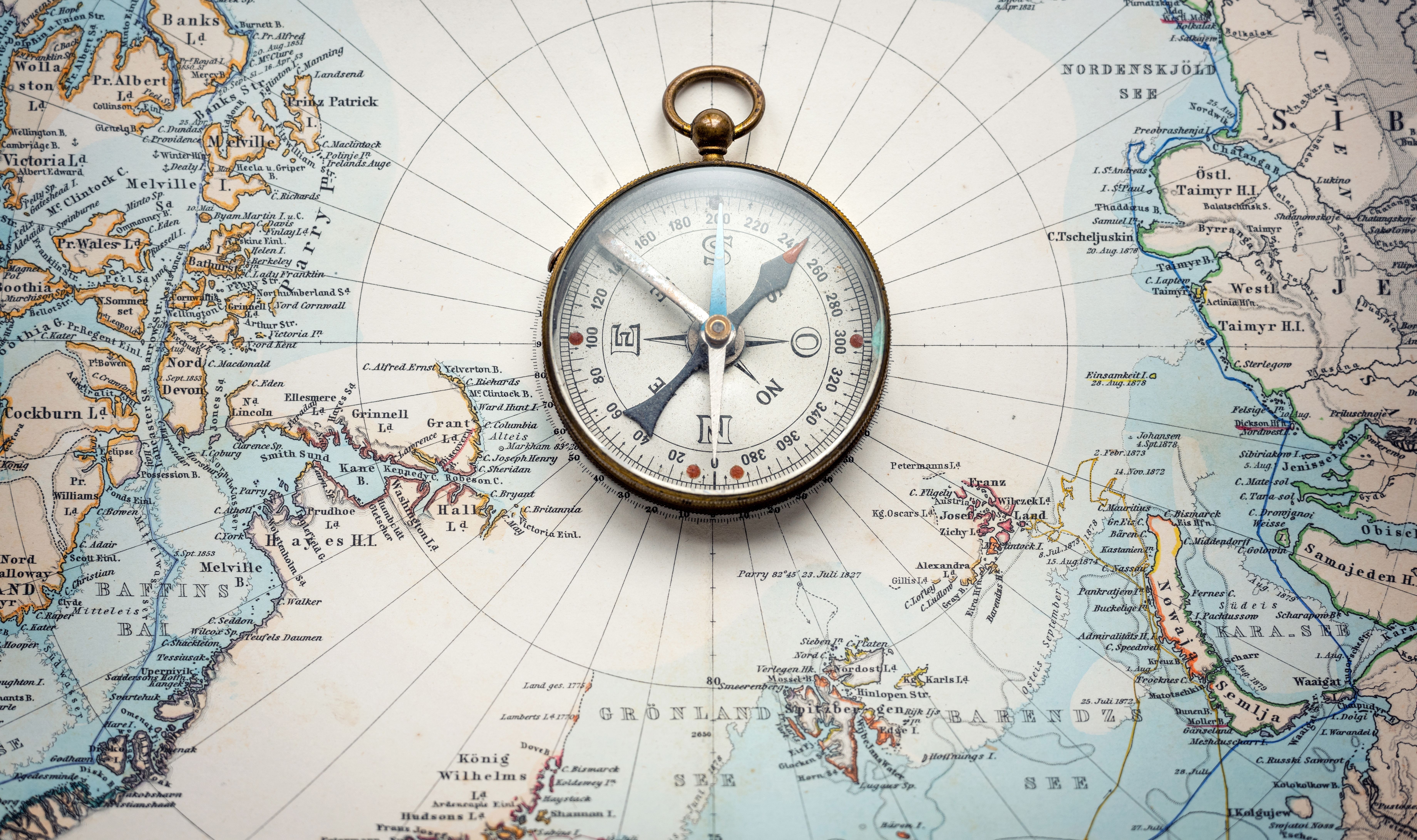
The 15th-Century Google Maps? The Astonishing Piri Reis Map
2025-03-03

In 1929, a German theologian stumbled upon a gazelle skin parchment map in Istanbul's Topkapi Palace – the Piri Reis map, created by a 14th-century Ottoman admiral. This map depicts the coastlines of South America and Africa with remarkable accuracy, even hinting at Antarctica, defying the technology of its time. Compiled from at least 20 sources, possibly including a map by Columbus, the Piri Reis map wasn't mere art; it utilized sophisticated portolan charting with compass roses and navigational lines, baffling modern scientists with its precision. It showcases the peak of medieval navigation and exemplifies the power of cultural exchange and human ingenuity.
Misc