Say Goodbye to Expensive Geocoding APIs: A Lightweight JavaScript Library for State/Province Lookup
2025-06-04

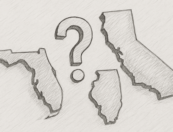
A startup spent thousands annually on the Google Maps API for reverse geocoding, just to determine users' states. Finding this wasteful, the author built `coord2state`, a lightweight JavaScript library that directly identifies US states from latitude/longitude coordinates. Leveraging US Census Bureau border data and the Douglas-Peucker algorithm for simplification, it achieves 99.9% accuracy at a 0.01° tolerance, weighing in at only 260KB. The library is open-sourced on GitHub and NPM, offering a cost-effective alternative for developers.